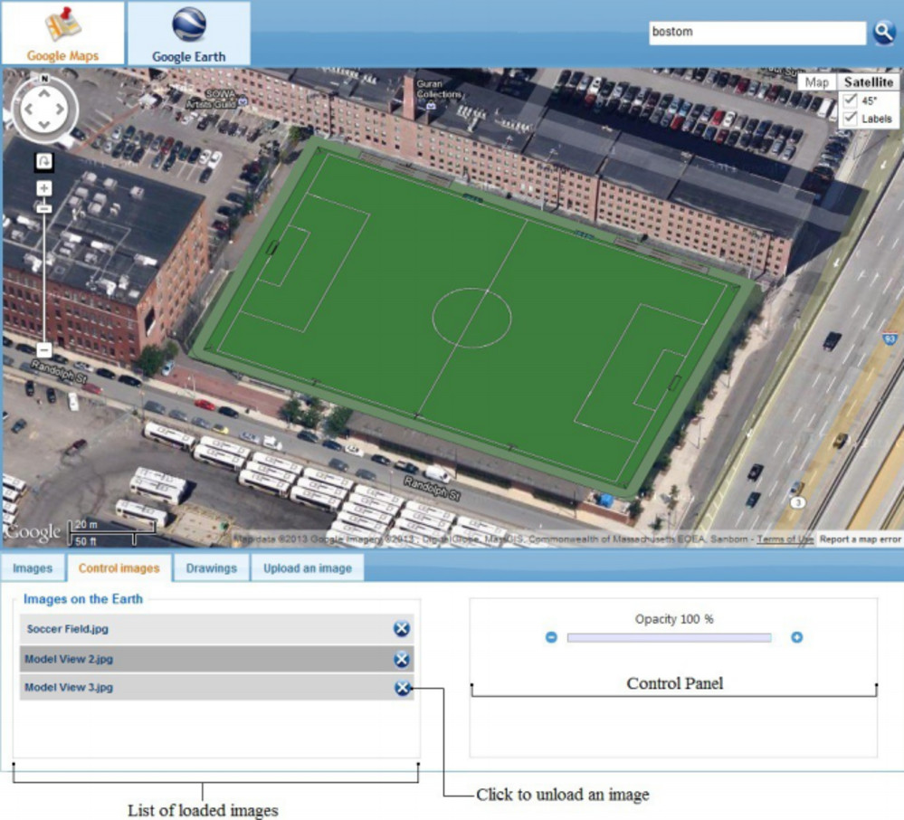
For architects who may be wondering what a building model would look like once it’s on the map, there’s an app for that. CADtoEarth v2.3, created by AMC Bridge, is a free third-party plug-in designed to create a bridge between computer-aided design (CAD) and building information modeling (BIM) software and mapping technologies Google Maps and Google Earth. http://www.engineering.com/BIM/ArticleID/10851/Putting-Building-Models-on-the-Map.aspx?e_src=relart
 Attachements